Obstruction Mapping at Eight Swedish Airports
In 2017, Geopro was selected as part of an international team of airport geospatial experts to perform obstruction mapping and GIS data collection at multiple airports throughout Sweden.
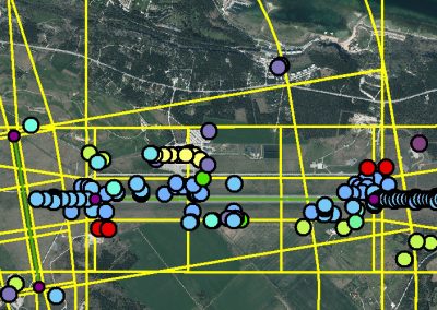
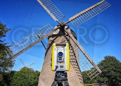
The data capture process began with photogrammetric mapping into a GIS database utilizing nationwide imagery captured by Lantmäteriet (National Land Survey of Sweden). The existing imagery allowed Geopro to cost-effectively perform a comprehensive collection of obstacle points, before a team member ever visited Sweden. Next, accompanied by French procedure designers, Geopro deployed an airport obstacle measurement specialists to inventory airside features and locate obstacles using ground-based laser measurement techniques.
In 2017 and 2018, Geopro mapped obstacles at eight different Swedish airportsL Stockholm-Arlanda Airport, Gothenburg-Landvetter Airport, Kiruna Airport, Malmö Sturup Airport, Östersund Airport, Umeå Airport, Stockholm-Bromma Airport, Visby Airport. It was an amazing adventure that tops our list of our most incredible projects.


