Geopro Consultants, LLC is a global leader in aeronautical geospatial solutions. We provide expert photogrammetric mapping, GIS services, and surveying to clients that demand the highest accuracy. Our team has been involved in the completion of more than 200 aeronautical data projects across the globe. Our international experience spans five continents with difficult terrain and language barriers that would stop our competition. Our world of success ensures that no matter the environment, your project is completed accurately and efficiently.
When your geospatial project requires the highest order of accuracy, trust Geopro: Always On Point.
Experienced & Adaptable
We’ve worked across the globe in a variety of different environments. No project is too large or small; too standard or unconventional for us.
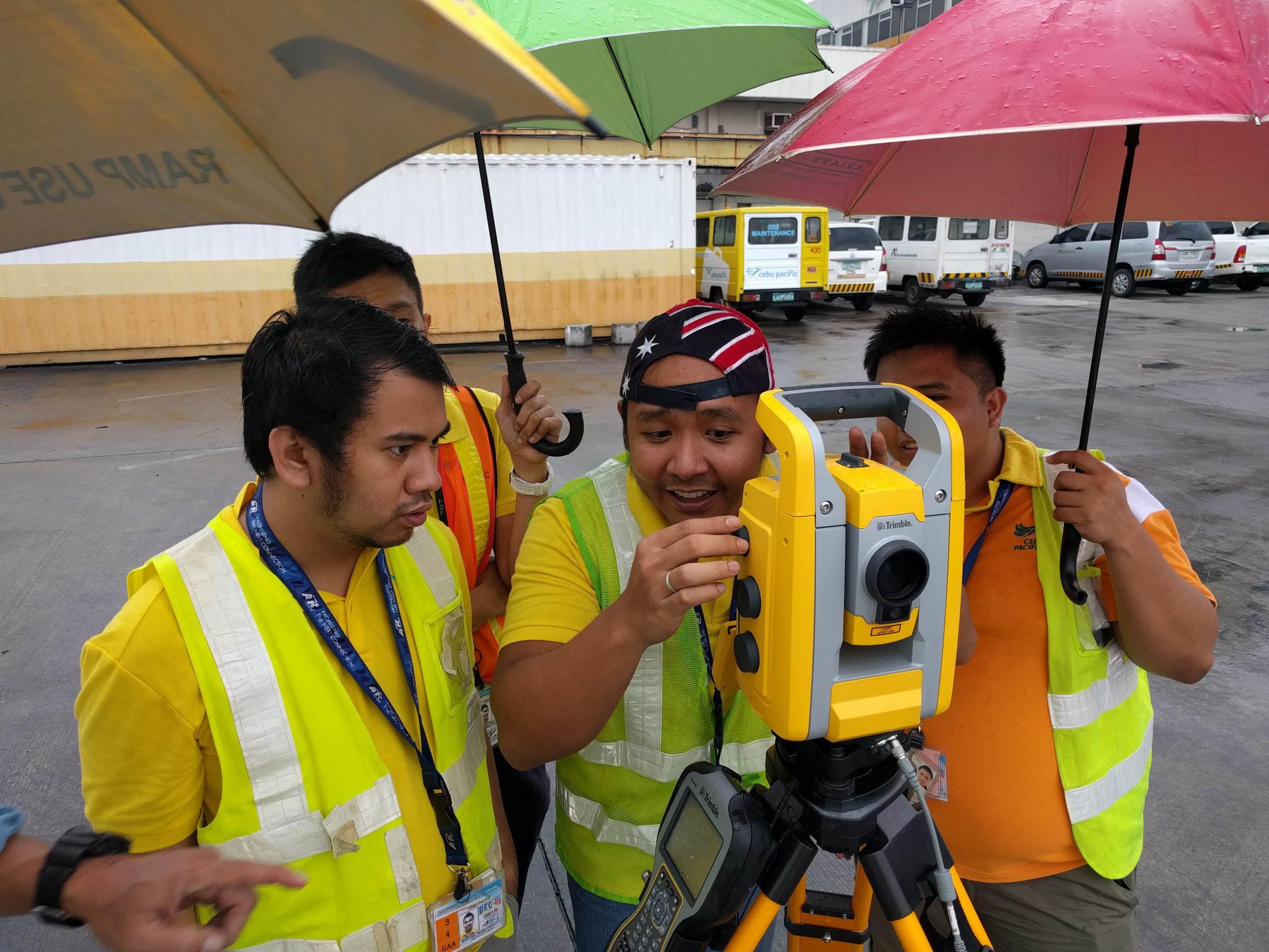
Airport GIS Experts
Geopro has over 200 aeronautical projects alone under our belt. We’ve completed projects in some of the busiest airports in the world with clear communication and accuracy upon delivery.
Equipped for Efficiency
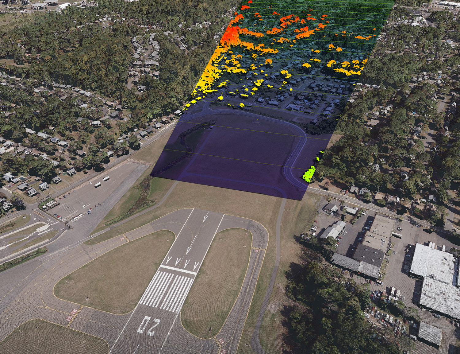
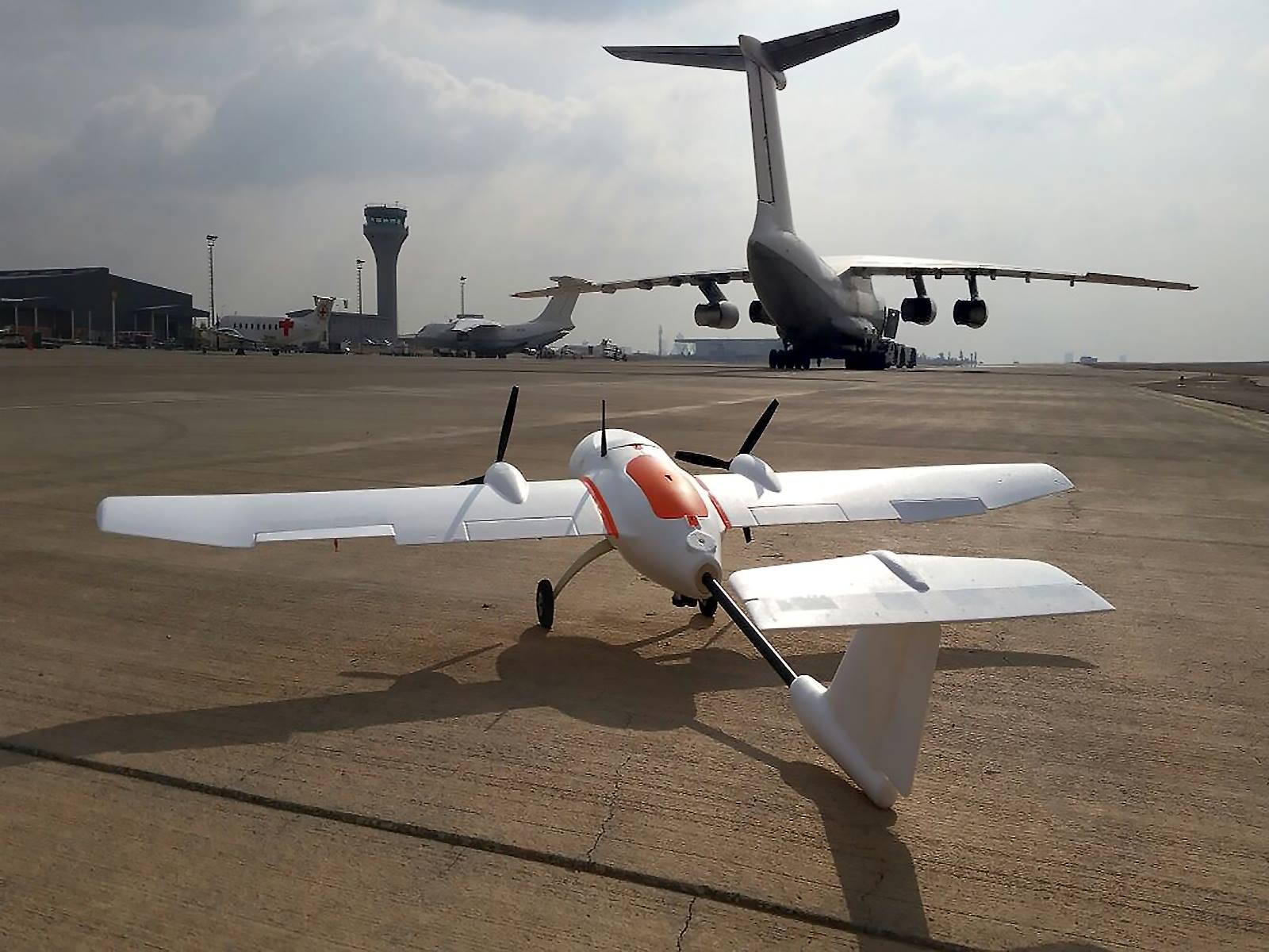
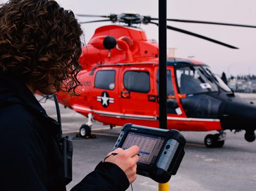
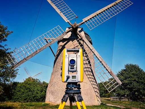
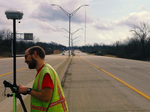
Your projects are completed more quickly quicker and within budget by utilizing the latest in geospatial technology, including unmanned aerial, satellite, and LIDAR.
Los Angeles
Baja
Whitehouse
Wright State University
Detroit
Zelienople
Calicut
UK
Kathmandu
Cusco
Kenai
Santa Cruz
Philippines
Indonesia
Aeronautical projects
Continents
Case Studies


Geopro Consultants, LLC
1441 East Stroop Road
Dayton, Ohio 45429
(937) 674-1492