Project Portfolio
Since 2010 Geopro has been providing a full suite of geospatial services to support the varying data needs of our global clients. Our projects are seldom simple, requiring a full suite a geospatial skills and diverse knowledge. From terrestrial LIDAR - to satellite based remote sensing - to delivery in enterprise-level geographic information sytsems - Geopro has you covered.![Airport GIS and Planimetric Mapping – Kenai, Alaska](https://geopro.xyz/wp-content/uploads/2020/05/Kenai_feature-510x382.jpg)

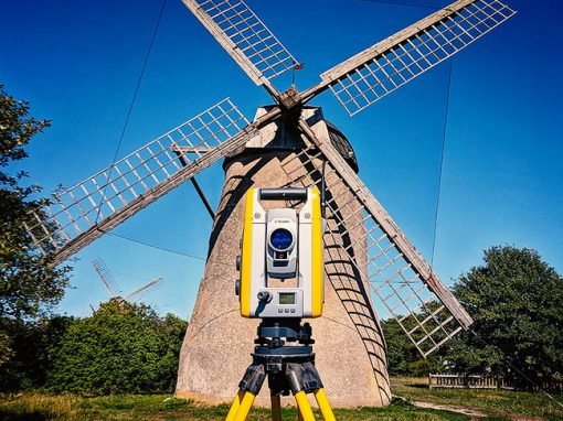
![Obstruction Mapping at Eight Swedish Airports](https://geopro.xyz/wp-content/uploads/2020/05/Sweden_featured2-1-510x382.jpg)
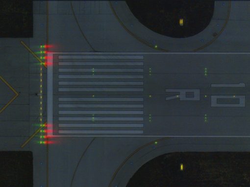
![Night Mapping of Airfield Lights and Signs at Detroit Metro Airport](https://geopro.xyz/wp-content/uploads/2020/05/Columbus-night-imagery-RWY10-4-510x382.jpg)
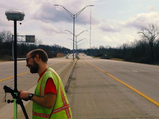
![City of Dayton Street Light GIS Inventory](https://geopro.xyz/wp-content/uploads/2020/05/COD-StreetLight-510x382.jpg)
![Reagan National Airport (DCA): FAA Airport GIS Deliverable Development](https://geopro.xyz/wp-content/uploads/2015/11/reagan-airport-1030x773.jpg)
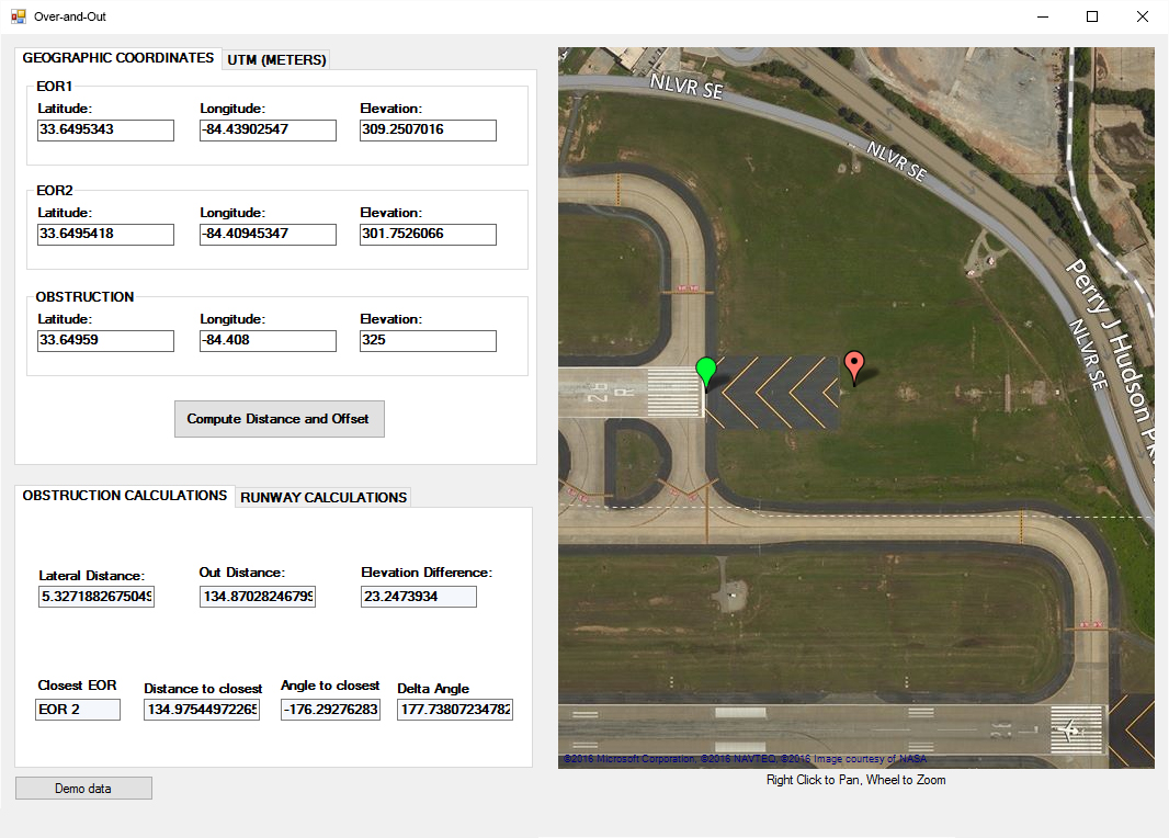
![Over-and-Out for Windows Desktop](https://geopro.xyz/wp-content/uploads/2016/01/Over-and-out.jpg)
![Zelienople Municipal Airport: Obstacle Mapping and Inventory](https://geopro.xyz/wp-content/uploads/2015/11/zelienople-airport-1030x773.jpg)
![Android based Mobile Development SlopeView and OISView](https://geopro.xyz/wp-content/uploads/2015/11/phone-mockup-1030x773.jpg)