Spanning over 300 acres, this survey and GIS mapping was performed to support the needs of university planning and engineering. Utilizing a combination of GPS and terrestrial surveying techniques, field survey observations were made to locate and document property...
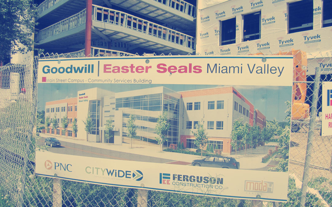
In support of planned construction, Geopro provided multi-year services in support of planning and future construction at the new GESMV Headquarters in Dayton, Ohio. Requiring extensive records research and documentation Geopro consolidated both north and south...